Geological survey to support policy making

Shanghai yesterday publicized its first geological survey report to guide its future planning and policy making.
The three-year survey, which mainly relies on high definition aerial photography, covers the city’s terrain, green areas and waterways, as well as railways, roads and houses.
It is the first overall and complete geological census about the city, according to Shanghai Planning, Land and Resources Administration, the city’s planning body.
The city’s land area, part of the alluvial plain of the Yangtze Delta Region, appears to be declining from east to the west. Its average height is 2.19 meters above the sea, and the tallest mountain is the 103.7-meter-tall Dajinshan Island, or Big Gold Mountain, in Jinshan District near Hangzhou Bay, according to the survey.
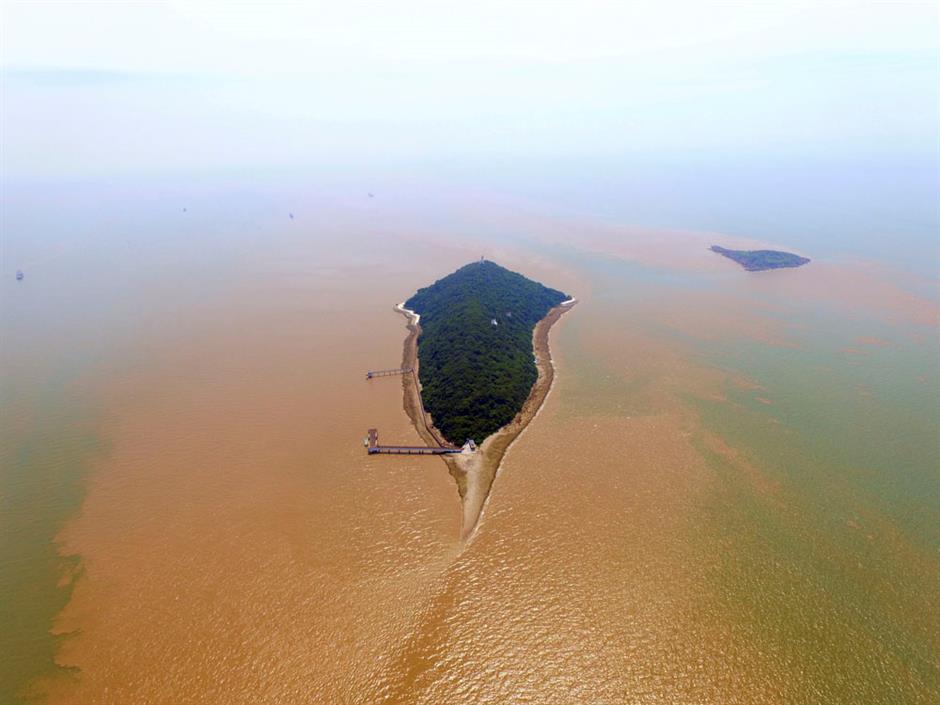
Dajinshan Island
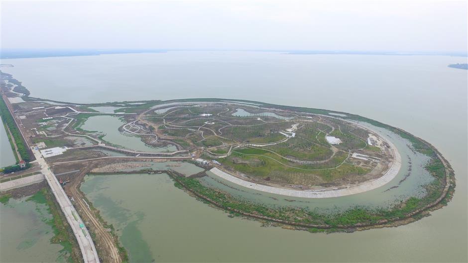
Concerning the greenery lands, Chongming District has the largest plantation areas, which include farmland as well as fruit, tea and flower gardens. Pudong has the widest expanses of forest and grassland.

Chongming Island
Dianshan Lake in the west of Qingpu District is the largest lake in the city, covering 62 square kilometers, equivalent to over 8,000 standard football pitches.
Dianshan Lake
The survey also points out the city’s longest national expressway is the G1501 Expressway, which runs around the city. The Outer Ring Road, or the S20 Expressway, is the longest provincial expressway.
The longest Metro line is Line 11 that connects Shanghai Disney Resort in Pudong with Jiading and Huaqiao in two branches.

Metro line 11
Though the city has a relatively low natural altitude, it has 930 buildings that are taller than 100 meters, mainly in downtown, according to the survey.
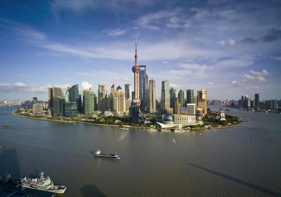
Lujiazui
Huangpu District has the densest road and railway systems, accounting for 17 percent of the district’s land areas. It is followed by Jing’an and Hongkou districts, according to the survey.
Land planning officials said, however, that the report is much more than a list of benchmarks.
Geological conditions will be taken into account when planning the city’s future development, said Wang Xunguo, deputy director with the administration.
Much of the data, for instance, has been used for the city’s master plan for 2040, when the city aims to become a “global excellent city,” the administration said.
“The distribution of the city’s buildings, another key information of the survey, will influence the government’s policy making on education, medical services, seniors’ care, culture and transport,” said Wang Kouzhu, deputy director with the city’s development and reform commission.
The greenery coverage will decide where new parks and greenery lands will be built in future, Wang added.
The data about the city’s residential buildings will become a key reference for the government to allocate new affordable housing as well as educational and medical resources, he said.
The data will also help the government to carry out its campaign to demolish illegal buildings, clean up the waterways as well as to open up Huangpu River’s waterfront regions. The cultural heritage protection authority can check the changes on local historic buildings through the aerial photos for better protection in future, Wang said.
The administration will analyze the data collected from the survey to support the government’s decision making and management, the administration said. Such geological surveys will be carried out regularly in future, it added.